Severe Weather Alert: Heavy Rain and Snow Expected Across Northern Algeria
Northern Algeria is currently experiencing a severe cold snap characterized by icy conditions and significant rainfall, a consequence of an active weather system. This weather pattern has brought a noticeable drop in temperatures since the beginning of the week, and the unsettled conditions are forecast to persist until Thursday.
According to meteorological models, rainfall will continue to affect central and eastern regions of the country through Thursday morning. The active weather system is expected to remain potent throughout Wednesday, bringing cloudy and rainy conditions.
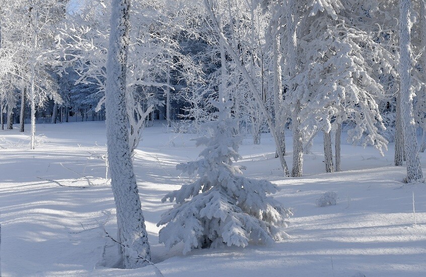
Snowfall is anticipated in mountainous areas exceeding 900 meters in altitude, particularly in the provinces of Jijel, Bejaia, Tizi Ouzou, Mila, Setif, Bouira, Oum El Bouaghi, and Batna. Residents in these areas should be prepared for challenging travel conditions.
DZWatch weather forecasts indicate a gradual improvement in weather conditions across western and central regions on Thursday and Friday. However, eastern regions are expected to remain under the influence of rain, cloud cover, and cold temperatures.
Temperatures will remain very low, with minimum temperatures expected to range between -3 and 0 degrees Celsius across inland areas during the night and early morning. Maximum temperatures are forecast to range between 5 and 15 degrees Celsius during the afternoon across northern provinces.
The state of the sea will be rough to very rough due to the weather disturbance, with strong winds exceeding 60 km/h. Maritime activities should exercise extreme caution. DZWatch advises all citizens to stay informed and take necessary precautions to ensure their safety during this period of inclement weather.