Heavy Rains and Snowfall Expected Across Northern Algeria
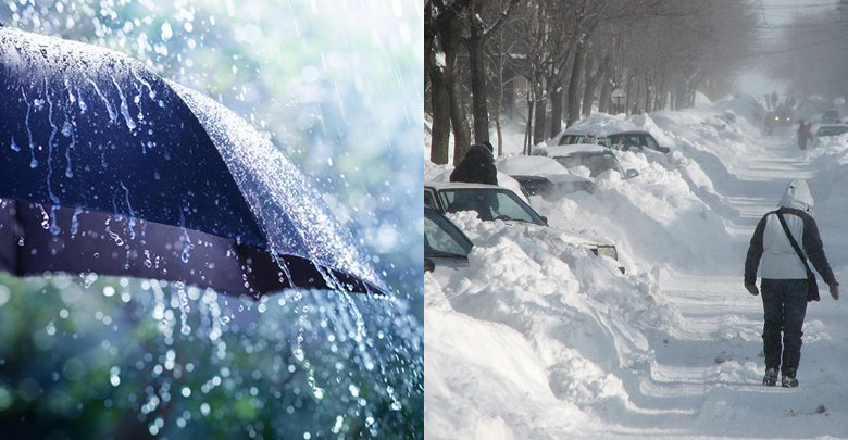
Algiers, Algeria – Significant weather changes are anticipated across northern Algeria starting Sunday, with the arrival of an active weather disturbance bringing cold polar air, heavy rainfall, and substantial snowfall.
Saturday will see partly cloudy skies with a slight increase in maximum temperatures across northern regions. Strong winds are expected to impact some western states and northern parts of the Sahara.
A gradual shift in weather conditions is forecast to begin on Sunday, transitioning from partly cloudy to overcast with the entry of a low-pressure system. Scattered rainfall is expected across northern areas.
The cold snap and worsening weather conditions are predicted to intensify from Monday morning as the cold air mass associated with the low-pressure system moves in. This will lead to a noticeable drop in temperatures.
Heavy rainfall is anticipated on Monday and Tuesday, with local accumulations potentially reaching between 50 and 70 millimeters. Significant snowfall, exceeding 20 centimeters, is expected in the interior highlands above 1000 meters.
Minimum temperatures will remain low, ranging between -2 and 7 degrees Celsius during the night and morning in northern regions. Maximum temperatures will range between 0 and 15 degrees Celsius. Residents are advised to take necessary precautions.
DZWatch will continue to monitor the situation and provide updates as they become available.