Severe Weather Alert: Heavy Rain and Snow Across Algeria
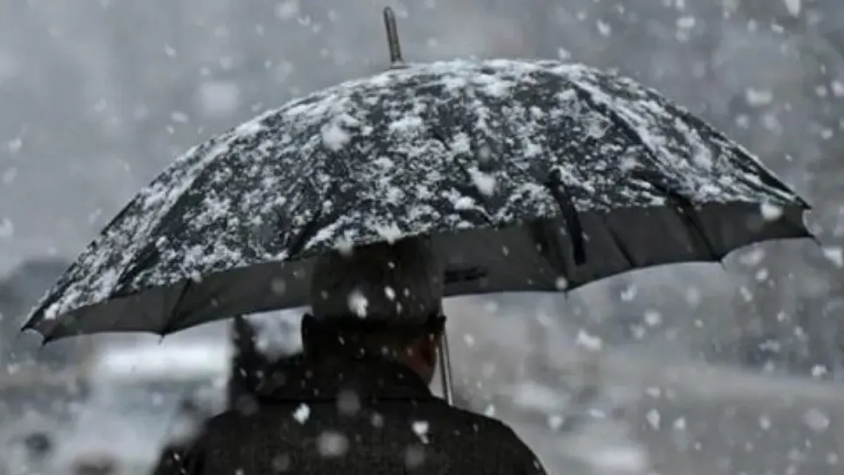
Several regions across Algeria are bracing for a spell of severe weather, with heavy thunderstorms and significant snowfall expected throughout the weekend. Residents are advised to take necessary precautions and stay informed about the evolving weather conditions.
Heavy Rainfall Expected: A significant band of thunderstorms is predicted to impact several western and central provinces. Rainfall amounts could reach up to 30mm in areas including Tlemcen, Sidi Bel Abbes, Saida, Mascara, Relizane, Mostaganem, Oran, and Ain Temouchent. The heavy rain is expected to persist from 6:00 AM until 9:00 PM today.
Similar rainfall patterns are forecasted for Chlef, Ain Defla, Tipaza, Algiers, Boumerdes, Blida, and Medea. These regions can anticipate heavy thunderstorms starting at 3:00 PM today and continuing until 3:00 AM tomorrow.
Snowfall in Higher Elevations: Higher altitude areas, particularly those above 1000 meters, will experience substantial snowfall. Accumulations of up to 10cm are anticipated in Bechar, Tlemcen, Naama, Sidi Bel Abbes, Saida, and El Bayadh, beginning midday today and lasting until 6:00 AM tomorrow.
Furthermore, even greater snowfall, potentially reaching 15cm, is expected in the highlands of Tiaret, Tissemsilt, Laghouat, and Djelfa, starting midday today and continuing until midday tomorrow.
Additional Warnings: Authorities are also warning of localized heavy thunderstorms affecting Tizi Ouzou, Bouira, M’Sila, and Tiaret from midnight until dawn on Sunday. Similar conditions are expected in Djelfa, Laghouat, Tissemsilt, and El Bayadh, starting midday today and lasting until 3:00 AM tomorrow.
Heavy snowfall is also anticipated in Tizi Ouzou, Medea, Bouira, Ain Defla, Bordj Bou Arreridj, and M’Sila, beginning at 6:00 PM today and continuing until dawn on Sunday. Motorists are urged to exercise extreme caution, especially in mountainous regions.
DZWatch will continue to monitor the situation and provide updates as they become available.